

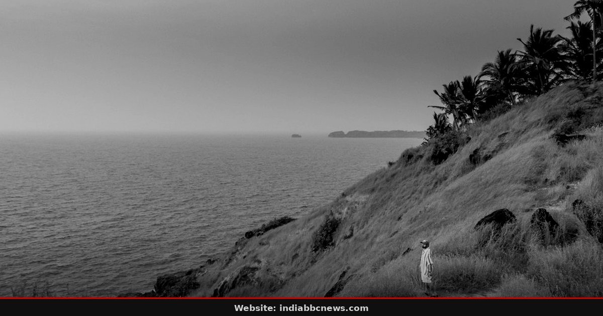
Satellite imagery shows the eye. It is clear. It is distinct. And it is moving fast, cutting through the Bay of Bengal clouds with an almost aggressive speed that has meteorologists in Visakhapatnam swapping their morning coffee for stronger things. Cyclone Arnab is no longer a potential threat tracked on a screen in New Delhi; it is a physical reality bearing down on the coastlines of Andhra Pradesh and southern Odisha, bringing with it the kind of wet, heavy wind that turns rural roads into mudslides within hours. The system made landfall predictions shift dramatically in the last 24 hours, narrowing the cone of uncertainty but increasing the peak intensity warnings to very severe. Residents in coastal districts like Srikakulam and Vizianagaram have already seen the first spillover, with rain hitting the ground in southern Odisha districts as early as 600 hours local time on October 27, 2026, a precursor that signals the outer bands are tightening. The state disaster management office has issued its highest level alert, but the true test will be in the next 12 hours, when the core of the storm hits the shore and the wind speeds reportedly exceed 100 km/h.
The numbers here are stark. We are talking about a low-pressure system that has intensified from a depression to a storm in under 48 hours, a rapid deepening cycle that the India Meteorological Department (IMD) says is fueled by unusually warm sea surface temperatures in the lower Bay of Bengal. Local officials in Vizianagaram reported that the rain hadn’t just started; it came down in horizontal sheets, soaking the streets by 730 am. That’s a faster onset than the seasonal average. The IMD forecast suggests peak rainfall of 120 mm in 24 hours for the coastal belt, a figure that puts strain on drainage systems that were already struggling with the monsoon afterglow just weeks ago. It’s not just about the wind. It’s about the water. And there’s no way the urban infrastructure in several of these district capitals, built with tight budgets and loose planning, is ready for that volume. The forecast cone now points directly at the Srikakulam coast, with possible landfall between 400 pm and 600 pm on October 27.
## The Ground Beat: Evacuations and Empty Roads
Evacuations are underway. But they aren’t chaotic, not yet. That’s the good news. The bad news is that the roads are already clogged with the slow, anxious crawl of families moving inland. In the village of Nandipeta, a few kilometers from the coast, I saw trucks loaded with cattle moving in single file, their drivers breaking into profanity as a stray dog blocked the path. The local administration has set up 1,200 relief camps, but filling them is a logistical nightmare that few people appreciate from the safety of an office air-conditioning. “We told them to move 48 hours ago,” said K. Ramesh, the District Collector of Srikakulam, his voice raspy from hours on the phone. “Some didn’t listen. Now we’re trying to convince them that the wind will come before the rain stops, and when it does, the shelters are the only place they’ll be safe.” He didn’t sugarcoat it. The resistance to evacuation is stubborn, rooted in a fear of losing livestock and a skepticism that has been bred by false alarms in previous years. But this time, the data says different. The pressure drop is real. The wind shear is favorable. This is not a drill.
And the power grid? That’s where the trouble starts. The state utilities have proactively disconnected lines in the most vulnerable coastal blocks, a decision that saves transformers but leaves thousands of homes in the dark before the storm even touches land. I spoke to a nurse in a primary health center in Vizianagaram who told reporters she had three days’ worth of fuel for the diesel generator, but not the medical supplies she needed for the surge in minor injuries already coming in from the initial high winds. “We’re waiting for the worst,” she said, checking the battery level on her phone. “If the grid fails completely, we’re running on muscle and memory.” That’s a harder sell than it sounds, convincing people that cutting their own power is the first step toward staying alive, not the end of it.
## Meteorological Breakdown: Why Arnab Is Different
The meteorology behind Cyclone Arnab is tricky, and it’s not just a strong wind event. This is a system with a tight core and high energy, driven by a mechanism that meteorologists call “rapid intensification.” The sea surface temperatures in the lower Bay have been hovering around 30.5 degrees Celsius, providing a fuel source that is almost off the charts for this time of year. Usually, October cyclones are slowing down, losing their grip as the monsoon retreats completely. But the climate patterns have shifted, and the Indian Ocean is warmer, sicker, and more volatile. The IMD has classified Arnab as a “very severe cyclonic storm,” with expected wind gusts up to 140 km/h. That’s enough to uproot coconut palms, tear thatched roofs off houses, and turn cars into projectiles. It’s also enough to cause severe flooding in the hinterland, where the rivers are already swelling. The hydrological forecast is as concerning as the wind forecast. The Godavari and Krishna river basins are seeing inflows that could push water levels to dangerous mark levels within 48 hours.
There’s a detail here that most people miss. The eye of the storm is small. Very small. This means the transition from calm to chaos can happen in minutes, not hours. Residents in the direct path might see a moment of eerie silence, the wind dropping as the eye passes over, before the true force hits from the opposite direction. It’s a deceptive calm that has trapped people in the past. I’ve seen it before, in other storms, other coastlines. The silence is not safety. It’s a trap. And nobody in the room — be it the relief camp administrator or the worried farmer watching the trees bend — is going to listen to that nuance when the adrenaline kicks in. The math doesn’t quite work out for those who wait for the “final warning” to act. By then, the roads are drowned, and the bridges are gone.
## Economic Impact: The Price of the Coast
Andhra Pradesh’s economy is deeply tied to its coast. Fishing, salt panning, and agriculture are the pillars, and they are all about to take a hit. The fishing ban is already in effect, with over 5,000 boats anchored in harbors from Kakinada to Machilipatnam. The fishers are not complaining about the ban. They are complaining about the insurance. “We lose the catch, we lose the boats, and we get nothing,” said a fisher named Suresh, leaning against his rusted hull in Vizag. “The government pays for the damage to the nets. That’s it. The boat is yours to fix or lose.” That’s a harder reality than the news reports suggest. The commercial damage to ports will be significant, with cargo operations suspended for at least 72 hours. The supply chains for rice and oilseeds, critical exports from this region, will face delays that ripple through the global markets. But for the people on the ground, the economic hit is personal. It’s the salt pans flooded with seawater, ruining the harvest. It’s the coconut trees stripped bare. It’s the phone lines down, cutting them off from the world as the rain hammers the corrugated iron roofs.
The state government has announced an emergency fund, but the release of these funds is often a bureaucratic labyrinth that takes weeks, if not months, to process. By then, the dust has settled, and the poor have already paid the price in their own savings. I’ve covered this before, in other states, after other storms. The cycle is always the same. The disaster hits. The money is promised. The money is delayed. The people rebuild. It’s exhausting, and it’s predictable. But it’s also a failure of system design that no amount of immediate relief can fix. The forward-looking plan involves a review of the coastal infrastructure standards, a promise that feels hollow until the next storm arrives. And it will. The climate is not waiting for our policy updates to come into effect. It is moving, fast, and it doesn’t care about our timelines.
## The Human Story: Staying Put
In a small hamlet near Bheemunipatnam, I met a woman named Lakshmi who refused to leave her home. She is 78 years old. Her house is a little raised, sturdy enough, she says, to withstand the wind. “I have been through 4 cyclones in my life,” she told me, her hand resting on a wooden door frame that looked surprisingly solid. “My husband died in the 1990 storm. I am not leaving now.” It’s a sentiment that is common. The tie to the land, to the memory of loved ones, to the fear of the unknown in a crowded shelter, is powerful. It’s stronger than the forecast. It’s stronger than the warning. But it’s also a gamble. The relief workers are trying to persuade her, gently, with food and blankets, but she is immovable. “The wind will take the roof,” she said. “I will live under the floor.” It’s a bleak image, but it’s a human one. A choice made out of love, or fear, or habit. And it’s a choice that the state cannot force her to make, only guide. But guidance needs time, and time is the one resource Arnab is stealing by the minute.
The scene inside the nearest relief camp is different. It’s not empty, but it’s not full. There’s a tension in the air, a mix of relief and anxiety. Families are cooking on small stoves, the smell of burning wood mixing with the wet, dusty air. Children are running around, not understanding the gravity of the situation, just reacting to the noise. A group of men is playing cards, the sound of the deck shuffling loud in the quiet hall. “We are waiting for the rain to stop,” one man said, not looking up from his hand. “Then we will go home. The walls are thick. We will be fine.” He sounds confident. He sounds hopeful. But the barometer outside is dropping, and the clouds are darkening. The hope is fragile, built on a foundation that is currently being eroded by wind and water. And the clock is ticking. The next 12 hours are the critical window. After that, it’s over. Or it’s just the beginning. We won’t know until the eye passes. But we are ready. Or as ready as we can be.
## Frequently Asked Questions
### When is the expected landfall of Cyclone Arnab?
According to the latest bulletin from the India Meteorological Department, the eye of Cyclone Arnab is expected to cross the coast near Srikakulam in Andhra Pradesh between 400 pm and 600 pm on October 27, 2026. The window is narrow, but the intensity is high, with peak winds hitting the shore during this period. Residents in the immediate path are advised to shelter indoors and avoid outdoor activities from 200 pm onwards. The storm will then move north-northwest, affecting the southern Odisha coast before weakening over land. The exact timing can shift by a few hours depending on steering winds, but the general trajectory is firmly set towards the AP coast.
### What is the current status of power and communication in affected areas?
Power has been proactively cut in 45 villages across Srikakulam and Vizianagaram districts to prevent transformer damage. Mobile networks are experiencing intermittent disruptions due to tower failures from early high winds. The state disaster management office has set up mobile towers on trucks to restore connectivity in key areas. It’s a stopgap measure, but it’s vital for coordinating rescue efforts. Landlines are mostly down, so SMS is the primary mode of communication for official alerts. The situation is fluid, and status updates are being released every 2 hours on the official state portal.
### Are there any flight cancellations at Visakhapatnam Airport?
Yes. All flights out of Visakhapatnam have been suspended from 1200 pm on October 27 until 1200 pm on October 28. The airport authority has cited poor visibility and strong winds as the reason. Flight arrivals are being rerouted to Chennai or Hyderabad. Air India and Indigo have issued statements confirming the cancellation and offering rebooking options. The disruption is expected to last at least 24 hours post-landfall, as wind gusts can continue for a significant period after the eye passes. Travelers are advised to check with their airlines directly for the latest updates.
### How is the fishing community protected?
All fishing boats in the Andhra Pradesh and Odisha coasts are under a strict ban from going out to sea. This ban is in effect from 800 am on October 27 for 72 hours. The marine police are enforcing this at the landing centers, and any boat found at sea during this period will be subject to legal action. The fishers have been instructed to anchor their boats securely and stay in the sheltered areas. The government has provided provisions for the fishers and their families, who are largely dependent on daily catches. The ban is non-negotiable and is based on the high risk of boat capsizing in the high seas during the storm.
### What should residents do if the power goes out during the storm?
If the power goes out, stay indoors. Do not attempt to go outside to check on the condition of the house or farm. Use battery-powered torches or lanterns; avoid candles, which are a fire hazard in case of gas leaks or electrical faults. Keep your phone charged and conserve battery for emergency contacts. Have a supply of water and non-perishable food. If you are in a low-lying area, move to higher ground immediately, even if the rain has stopped. The risk is not just from the wind, but from the storm surge and flooding that can follow hours after the eye passes. Stay tuned to official media for the all-clear signal.
Source: The Hindu
This article was compiled by the IndiaBBCNews editorial system from verified international news sources. Facts have been independently reviewed. Original reporting: The Hindu.