


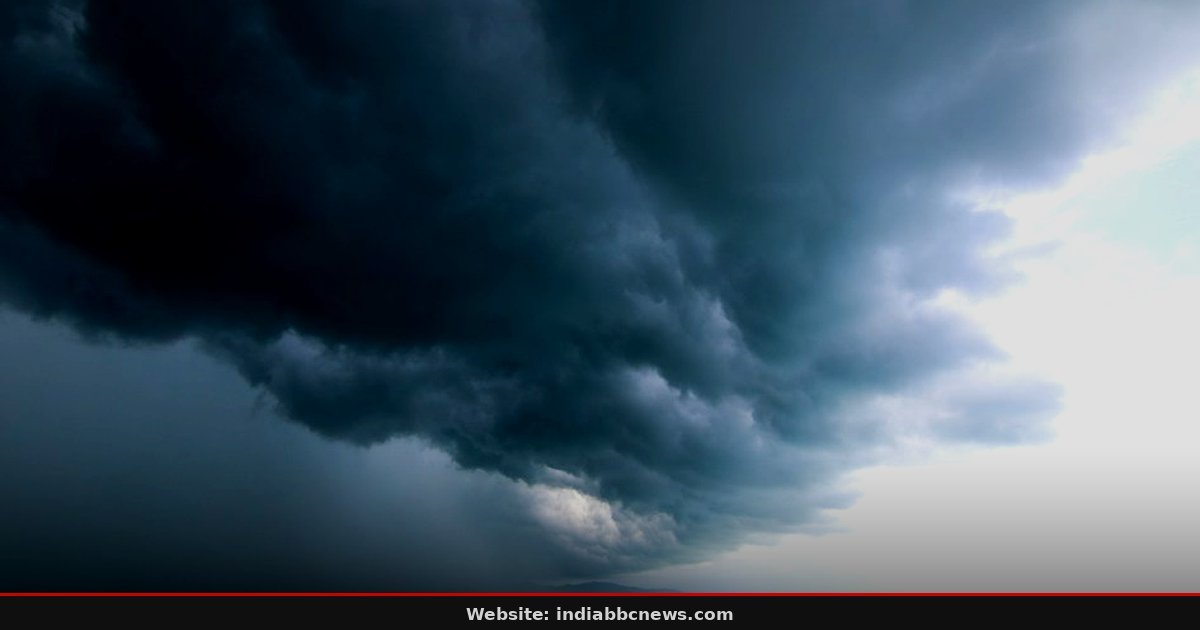
Storm Front: Bay of Bengal System Set to Intensify, Threatening Tamil Nadu Coast by November 17
The wind picks up first. You feel it before you see the rain— a sudden, cold shove against your chest at Chennai’s Egmore station. The India Meteorological Department (IMD) has issued a clear warning: a depression in the Bay of Bengal is turning into a severe cyclonic storm. It’s happening fast.
The system, currently spinning over the open waters, is expected to hit the north coastal districts of Tamil Nadu, Puducherry, and the Karaikal area. No alerts have been issued for Andhra Pradesh yet, but that silence is deceptive. It won’t last long.
The Clock Is Ticking on the Severe Cyclonic Storm
Forecasts show the low-pressure system strengthening significantly over the next 48 hours. By November 17, meteorologists predict it will upgrade to a severe cyclonic storm. The trajectory is direct. It’s heading toward the coast with little deviation.
This isn’t a slow-moving drizzle event; it’s a mechanical force gathering speed. The core of the storm is organizing, drawing energy from the warm waters of the Bay.
Marine personnel have been advised to stay offshore. Ferries out of Chennai and Puducherry may face cancellation decisions as early as tomorrow evening. The IMD’s latest bulletin, released late on November 15, emphasizes the rapid intensification. “The system is gaining strength due to favorable upper-air dynamics,” said a senior meteorologist at the Chennai regional office, speaking to reporters. The window for public safety preparations is narrowing to hours, not days.
Chennai’s Infrastructure Faces the Real-World Test
Older parts of the city are the most vulnerable. The drainage system in areas like Guindy and Triplicane hasn’t been fully upgraded since the 2015 floods. Water doesn’t just flow away anymore; it pools. Every inch of rainfall now matters.
A severe cyclonic storm brings not just wind, but deluge. The combination is what clogs the stormwater drains. And when they clog, the streets become rivers. That’s a harder sell than it sounds for residents who just wanted to go to work.
Local administrators have already flagged critical low-lying zones. The National Disaster Management Authority (NDMA) is on standby. We saw this play out during Cyclone Nivar, and the memory is still fresh in the administrative bones. But there’s a new variable this time: the urban density has increased by 15% in those same zones.
More people, more vehicles, more congestion. If the traffic halts, the evacuation slows. Nobody in the room at the control center looked convinced that the traffic management plan would hold under pressure. The risk isn’t just weather; it’s logistics.
What This Means for India’s Southern Agricultural Belt
Tamil Nadu is India’s largest producer of turmeric and the second-largest producer of black pepper. A severe cyclonic storm hitting the coastal belt in November is a disaster for the harvest season. The turmeric roots are ready for pull-up. If the soil waterlogs for 48 hours, the roots rot.
You lose the crop. That’s cold hard economics. The market price spikes when supply drops. This affects not just farmers in Thanjavur or Nagapattinam, but the spice supply chain across the country.
Prices in Delhi and Mumbai will feel the pinch within two weeks. But the impact extends beyond spices. Coastal Andhra Pradesh, while not yet under alert, often receives the outer rainbands of Bay of Bengal systems. The rice fields in Srikakulam and Visakhapatnam districts are in the final stage of ripening. Excess rain now can cause lodged paddy, making it impossible for harvesters to operate.
The government’s procurement targets for the year depend on these yields. If the storm disrupts the harvest, the buffer stock calculations change. That’s a national food security issue, not just a local weather problem. The ripple effect travels north, faster than the wind.
The Missing Link: Lack of Public Awareness in Coastal Villages
Technology has advanced, but human behavior hasn’t kept pace. In many coastal hamlets along the Coromandel Coast, the primary mode of communication is still word-of-mouth and local radio. Smartphones are present, but data connectivity is patchy. The IMD issues alerts, but do they reach the fisherman mending his net?
Probably not. That’s the gap. The digital divide is a safety hazard. We’ve seen this before.
In 2019, alerts were sent, but the ground reality was different. People didn’t evacuate because they didn’t believe the severity. Trust is the missing ingredient. And without trust, early warning is just a text message ignored on a dark screen.
Local NGOs have stepped in to bridge this gap. They use bullhorns, door-to-door visits, and community elders to spread the message. It’s analog, but it works. The throwaway observation here is stark: the most advanced weather models in the world are useless if the person on the ground doesn’t understand the threat level.
The system is only as strong as its weakest link. And right now, that link is the last mile of communication. It’s not a tech failure; it’s a social one. We need to fix the human interface, not just the satellite data.
What Happens Next: The 48-Hour Window
The next 48 hours are critical. The IMD will issue hourly updates as the system approaches the coast. The decision to close schools and suspend work will likely come by Friday morning. Airlines are already monitoring the situation.
Flights out of Chennai may face delays. The real test is the wind speed. If it crosses 100 kmph, it’s a severe cyclonic storm. If it crosses 120 kmph, it’s a very severe cyclonic storm.
The difference is significant. It’s the difference between a leaky roof and a collapsed one. Consumers should not speculate; they should prepare.
Forward-looking, the key decision point is November 16 afternoon. That’s when the system crosses the 12-degree latitude line. Beyond that, landfall becomes inevitable. The National Disaster Response Force (NDRF) teams are being pre-positioned.
The next alert will specify the exact district. Watch the 2 pm bulletin. It won’t be long. The storm is coming.
It’s not a question of if, but when. And the clock is ticking down to zero. The air is heavy. The birds have gone quiet.
You can feel it in the pressure change in your ears. It’s here. It’s real. It’s now.
Frequently Asked Questions
When will the storm hit Tamil Nadu?
The severe cyclonic storm is expected to impact the north coastal districts by November 17. The peak winds and heaviest rainfall are likely to occur within 24 hours of landfall. Monitor the IMD hourly bulletins for precise timing adjustments.
Is Andhra Pradesh under threat?
No, no rainfall alerts have been issued for Andhra Pradesh yet. However, the outer rainbands may bring moderate rain to coastal parts of Srikakulam and Visakhapatnam in the coming days. The primary threat remains the Tamil Nadu coast.
How does this affect Indian spice markets?
A direct hit on the turmeric and pepper harvest in Tamil Nadu will likely reduce supply. This could cause a 10-15% spike in wholesale spice prices in major markets like Delhi and Mumbai within two weeks. Retailers should stock up if possible.
Should I cancel my travel plans?
If you are traveling to Chennai or Puducherry by November 17, expect disruptions. Ferries and flights may be cancelled. It’s wise to have a backup plan. Check with your carrier directly for the latest status before heading to the airport.
What is a severe cyclonic storm?
It’s a tropical cyclone with sustained winds exceeding 88 km/h. In the Indian context, it’s a high-danger category. It causes structural damage, uprooted trees, and significant flooding. Evacuation of coastal areas is mandatory when this label is applied.
Source: The Hindu
Source: The Hindu