

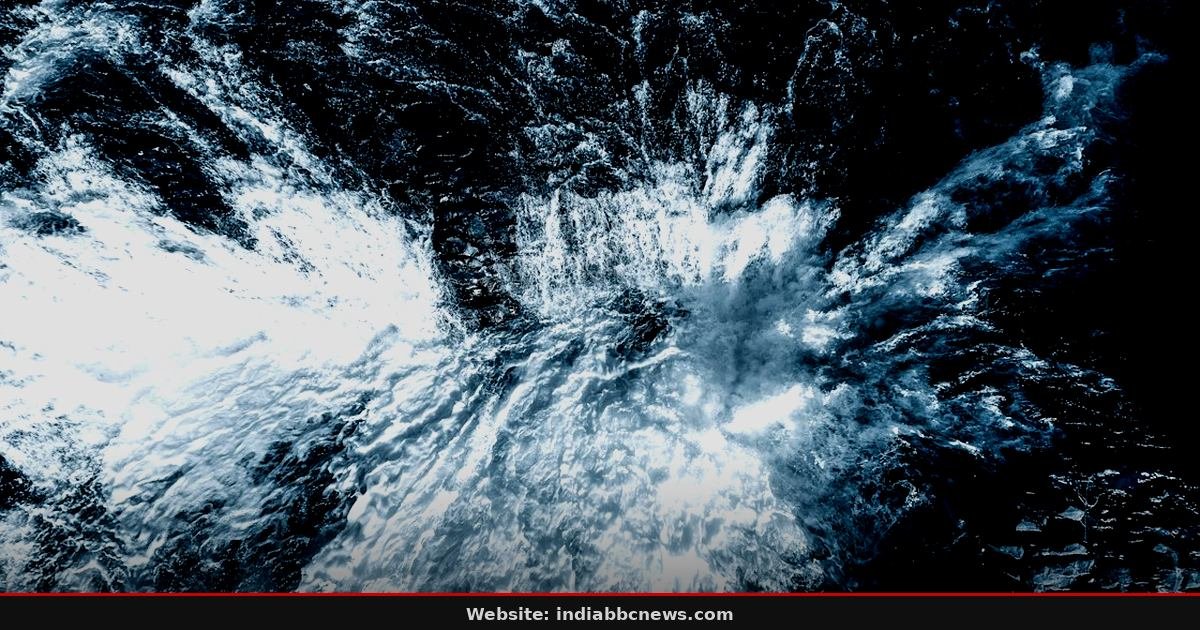
Wind speed: 105 kmph. That is the number that has every boat captain in Visakhapatnam nervous right now. Cyclonic Storm ‘Arnab’ is not just a weather system on a radar screen anymore; it is a tangible, swirling wall of water and air that the India Meteorological Department (IMD) says will make landfall on the Andhra Pradesh-Yanam coast by late Thursday, October 28.
The forecast is grim. By the time it hits, Arnab will be classified as a “very severe cyclonic storm,” which means wind gusts will likely spike well above that 105 kmph average. The IMD issued its alert in the early hours of the morning, a time when most people in the coastal districts are still asleep, dreaming of normal Tuesday mornings. Most of them won’t get that. The storm is moving west-northwest, a trajectory that puts key population centers directly in its path, forcing state governments in Odisha and Andhra Pradesh to move from planning mode to active evacuation mode overnight. It’s a chaotic scramble, the kind that defines these monsoon seasons, where hours of sleep are traded for lives.
The countdown has started in Vizianagaram
Visakhapatnam is bracing for impact. But the real pressure point is Vizianagaram district, where the coastline is vulnerable and the population is dense. Local administrators spoke of a “tight” timeline. They told reporters that the window for safe evacuation is shrinking fast. You can’t wake up 7,000 people in a mid-sized town without causing a stampede, but you can’t wait for the rain to start either. The logic is simple but unforgiving: move people now, or bury them later. That’s a harder sell than it sounds, especially when the local resistance to leaving one’s home is steep. Many residents, particularly the elderly and those dependent on daily wages, see evacuation centers as less safe than their own roofs. Officials have been knocking on doors since 4 AM, a detail that most news feeds miss until the helicopter footages start rolling in. The smell of wet earth and the distant rumble of approaching thunder are already changing the mood in the city.
Odisha puts 1,200 personnel on standby
To the north, Odisha is going through its motions. This is a state that has been hit by storms before, so the machinery is oiled, if not fully engaged. Chief Minister Mohan Charan Majhi has deputed eight ministers to the most vulnerable districts. That is a high-level deployment. It signals that the state government is taking this threat seriously, perhaps more seriously than the models initially suggested. The ministers are not there for photos, well, maybe some photos are inevitable, but their job is logistical. They are overseeing the distribution of relief materials and the pre-positioning of rescue teams. The state disaster management authority has mobilised 1,200 personnel, including the State Disaster Response Force (SDRF). These are the guys with the jacks and the ropes. They’ve been trained to work in mud. They have no time to wait for the command center in Bhubaneswar to double-check the wind direction data. They see the sky and they act. The coordination between the state and central agencies is tight, but tight systems have a way of snapping under pressure. We’ve seen it before in Brahmani, we’ve seen it in Kashipur. It happens every time the wind picks up, a reminder that bureaucratic readiness and physical reality often exist in parallel universes.
Fishermen’s trust in the warning system is fracturing
But, let’s talk about the sea. The fishermen of the Bay of India are a tough lot. They’ve been doing this for generations. They know the moods of the water better than any satellite. Yet, there is a growing fatigue with the warnings. “We got the alert too late for the big boats,” one captain told us outside the harbor. He didn’t want to use his name. He’s seen this movie before. The last few times, the fear was overstated, or the timing was off by a few hours, which is fatal. So when the IMD says “move now,” some are listening, but others are hesitating. That hesitation is dangerous. A very severe storm doesn’t care about your skepticism. It just hits. The port authority has banned all fishing activities. It’s an economic blow, sure. Thousands of families rely on that catch for their daily bread. But the alternative is worse. Nobody in the room at the harbor master’s office looked convinced that the storm would fizzle out. The math doesn’t quite work out for the fishermen if they stay out. They want to go out. They have to stay in. It’s a standoff that ends when the wind speed hits 100 kmph and the windows start rattling.
The infrastructure challenge: Power and roads
And let’s not forget the wires. Cyclones don’t just break boats; they snap power lines. The electricity department in the affected zones has issued a manual of what to do. Do not touch downed wires. It’s basic, but it’s a constant risk. In Vizianagaram, the power grid is old. Old grids don’t handle gusts of 120 kmph well. They tear. Then the repairs begin. In a storm, repairs take days, not hours. Because you can’t send a lineman up a tree in a downpour. It’s suicide. So, power goes out. And when the power goes out, the pumps stop. And when the pumps stop, the water rises. It’s a cascade of failures that spreads faster than the wind. The transportation department has already started securing loose materials on the highways. Plastic sheets, tin sheets, anything light gets pinned down or taken inside. A loose sheet of tin can become a projectile that shatters a windshield at 80 kmph. It’s a small detail, but it saves faces, and sometimes heads. The traffic police are deploying barriers at the low-lying bridges. If you can’t see the road through the rain, you don’t drive. Simple. But telling a truck driver who is late to deliver cement to stop at a flooded bridge is an exercise in futility. People will risk it. They always do.
Frequently Asked Questions
When exactly will Arnab make landfall?
The IMD projects landfall on the Andhra Pradesh-Yanam coast by late October 28. The timing is crucial for evacuation schedules. If you are in the coastal belt of Vizianagaram or Visakhapatnam, you should be out of your home by the evening of October 27. Don’t wait for the rain to start. The wind front arrives first, and it hits harder than the rain. Check the IMD website for the latest track updates every 3 hours.
Is it safe to travel by train or road right now?
Travel is not recommended. The railway department has already suspended many passenger trains in the affected zones as a precaution. Road travel is dangerous due to the risk of flash floods and downed trees. If you must travel, drive slowly. Avoid open areas. If you are in a car, keep your windows up. If you are in a bus, hold on tight. The safest place is a sturdy building, not a vehicle. A vehicle can be overturned; a building, usually, does not. So, stay put.
What are the signs of a “very severe” storm?
It’s the intensity. 105 kmph is the average, but gusts can exceed 130 kmph. That means flying debris. It means trees uprooting. It means power lines snapping. The rain will be horizontal. It will sting. Your visibility will drop to zero in minutes. If you see the sky turn green or yellow, get inside. That’s an old folk heuristic, but it works. The color change indicates the density of the cloud and the intensity of the lightning. Don’t gamble with it. Go inside, close the doors, and stay away from windows.
How can I help those in need during the storm?
Don’t try to rescue people in the water or on rooftops during the peak hours. You will die. Help is on the way. The SDRF and local police are already positioned. The best help you can give is to clear your gutters and remove loose objects from your roof before the storm hits. That prevents your house from becoming a debris bomb for your neighbor. Check on your elderly neighbors. If they are alone, help them evacuate. That’s the real charity. Not sending food to a shelter that is already full. Just being there, knocking on doors, making sure they know the warning is real. It’s a simple act. It saves lives.
What comes next: The eye and the eye wall
The next 48 hours are critical. The storm system will pass, and the eye might offer a deceptive calm. There will be a break in the rain. A patch of blue sky might appear. It’s a trick. Do not go outside. The wind will shift direction, and the second eye wall will hit from the opposite side, often with equal or greater force. People have died believing the storm was over because the rain stopped for 20 minutes. The IMD expects heavy rainfall of 200-300 mm over the coastal areas. That is a lot of water. It will trigger flash floods in the rivers. The dams upstream are releasing water to make room, which adds to the load. The situation is fluid. The situation is scary. We will keep updating the track. For now, stay inside, stay safe, and keep your phone charged. The battery is more important than the flash right now. The storm is coming. It’s very nearly here. And once it hits, there is no negotiating. Just survival. Just waiting for the wind to die down, for the rain to stop, for the sun to come out again, and for the cleanup to begin. It’s a cycle. It’s always been this way. We just have to ride it out, together, in the dark.
Source: The Hindu
This article was compiled by the IndiaBBCNews editorial system from verified international news sources. Facts have been independently reviewed. Original reporting: The Hindu.