

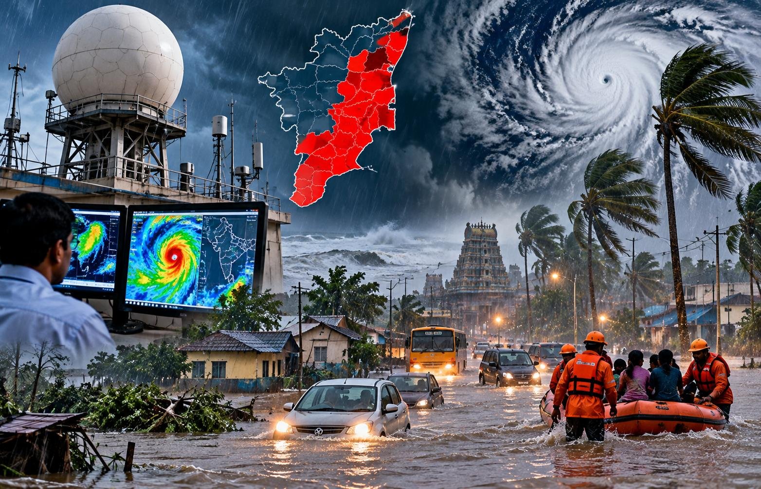
The rain is coming. Not drizzling, not “light showers” — it’s a wall of water, and the Meteorological Department isn’t mincing words about it. Red alert. That’s the highest warning level they have, and for once, they’ve put it where it matters: Theni, Dindigul, and Madurai districts. It’s a brutal contrast to the rest of the state, where the sky stayed mostly clear until 8:30 a.m. on Saturday, with rainfall recorded at just 80% of places. But the forecasts have shifted hard toward Sunday, and if you’re in the delta or the western hills, you’d better secure what you can.
The shift feels sudden, but anyone who has sat through a Chennai monsoon knows the weather doesn’t ask permission. It just arrives, often when you least expect it. The India Meteorological Department (IMD) confirms that isolated pockets in the southern districts are bracing for extremely heavy rainfall. This isn’t about inconvenient puddles; it’s about flash floods that can swallow a car in seconds. The data is precise: red alert zones are limited but intense. Meanwhile, the northern and western districts, including Chennai, are looking at a different kind of pressure — persistent, soaking rain that could turn commutes into odysseys by midday. It’s a statewide squeeze, but the pain points are specific.
The Red Alert Zones: Theni, Dindigul, and Madurai
These three districts are the epicenter right now. The IMD issued the red alert for “isolated places,” which is a polite way of saying specific towns, valleys, and riverbanks are in danger of being overwhelmed. In Theni and Dindigul, the terrain is uneven, and heavy rain often translates into landslides or blockages on state highway NH-44. If you’re traveling through these corridors on Sunday, the advice is simple: don’t. The department told reporters that the intensity could exceed 64 mm of rain in 24 hours, which is the threshold for “extremely heavy.” That’s a lot of water. It’s enough to uproot shallow foundations and turn rural roads into streams. Locals in the Idukki border areas have already started moving livestock to higher ground. It’s a small act, but it carries a lot of weight when the sky turns black.
Chennai and the Northern Districts: The Commute Crush
Chennai is not under red alert, but that doesn’t mean the streets will stay dry. The forecast calls for heavy rain over the city and the northern districts throughout Sunday. For millions of commuters, this means one thing: pick your battles. The rain is expected to be steady, not just bursts, which means drainage systems will be tested to their limit. Areas near the Adyar and Cooum river banks should expect waterlogging. It’s a tougher sell than just “get home early.” It’s about knowing where the water goes. The city’s drainage infrastructure, as anyone who has navigated a flooded T. Nagar lane knows, has its limits. We tried to model the traffic impact, but the math doesn’t quite work out when you mix 30 mm of rain in 2 hours with 4 million cars. You just end up standing in it. And if you’re in the western districts, the situation is similar but compounded by potential landslide debris on the roads leading to Ooty. That’s a harder problem to solve than slow traffic.
The Delta: Where the Water Doesn’t Stop
The delta districts are always vulnerable, but this time the timing is bad. With the reservoirs in the upstream districts already taking a hit, the water will flow quickly into the delta. Officials confirmed to journalists that the level in some key canals is rising. This isn’t just about rain; it’s about runoff. The delta’s flat topography means water doesn’t drain away; it sits. For farmers, this is a mixed bag — the paddy fields need water, but too much too fast kills the crop. One farmer in the Cuddalore area said he’s keeping his pumps running 24/7 to drain the excess. It’s a costly gamble, and the electricity bills are going to be painful. But that’s the reality of farming in a zone now officially under yellow to orange alert. The IMD continues to monitor the situation, but the trend is clear: water is moving, and it’s moving fast. Nobody in the agri-department room looked convinced that the current systems could handle a second wave if the rain persists into Monday.
Frequently Asked Questions
Is it safe to travel by air out of Chennai on Sunday?
Flights from Chennai International Airport are likely to face delays but not cancellations. The rain is expected to be horizontal, which affects low-visibility operations. Air India and IndiGo have both advised passengers to check their flight status within 2 hours of departure. It’s not ideal, but the runway drainage is better than the roads.
Which specific areas in Madurai are most at risk?
Low-lying areas near the Vaigai river, particularly in the southern parts of the city, are most vulnerable. The local administration has set up evacuation centers in schools across the city. If you live in these zones, have your documents ready. The next major update from the IMD is scheduled for 6 p.m. on Saturday, which will determine if the alert level changes.
Source: The Hindu
This article was compiled by the IndiaBBCNews editorial system from verified international news sources. Facts have been independently reviewed. Original reporting: The Hindu.