


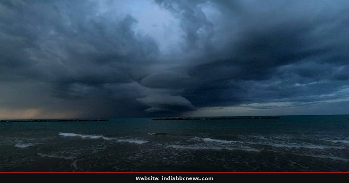
100 kmph. That is the wind speed the India Meteorological Department (IMD) is tracking for Cyclone Murasu as it barrels toward the Andhra Pradesh coast. The storm is not just a wet spot on a radar screen; it is a fast-moving system that could turn the Nellore to Narasapur stretch into a no-go zone by Tuesday night. Forecasters say gusts could hit 120 kmph, a speed enough to uproot trees and snap power lines in rural areas.
The警报 is red. No one is sleeping well in Visakhapatnam right now.
The Eye on Nellore and Narasapur
The landfall point is narrowing down fast. IMD officials told reporters that the cyclone’s track is shifting slightly northward but remains dangerous for the coastal districts of Andhra Pradesh. The window for impact is tight, hitting just before the monsoon season officially begins its post-harvest lull. Farmers in these districts are already stressed about the paddy crop, and now they face the threat of waterlogging and wind damage.
It is a perfect storm of agricultural anxiety. The state disaster management agency has deployed 450 personnel in these zones.
But the wind is only half the danger. The heavier hitter is the rain. IMD has issued a red alert for places east of the warning center, meaning extreme rainfall is likely. We are talking about 40 to 50 mm of rain in just 3 hours, which can overwhelm drainage systems even in cities.
Inward villages, where roads are often just compacted earth, this amount of water means immediate isolation. People in Nellore have already started moving cattle to higher ground. It is a scene repeated every year, but never once feels routine.
Why “Gusting to 120” Changes Everything
There is a specific reason the phrase “gusting up to 120 kmph” makes meteorologists tighten their jaw lines. Sustained winds of 100 kmph are bad, but gusts of 120 kmph are what break concrete sheets and tear off tin roofs. This is the difference between a leak and a collapse. In 2013, when Cyclone Phailin hit, it was the gusts that caused the most structural damage in Orissa and West Bengal.
We saw homes flattened in seconds, not days. That is the reality of high-gust events. The structural integrity of older buildings is the first thing to go.
And this is not just about houses. It is about infrastructure. Power transmission towers are designed to handle sustained winds, sure, but they are not built for the erratic, violent spikes of a gust. Grid officials have started pre-emptive power cuts in the affected zones to protect the hardware.
That is a harder sell than it sounds for the public, who need refrigerators running for their vegetables and medicine. But it is the right call. We have seen the cost of keeping the grid live during strong winds, and it is far higher than the inconvenience of a blackout.
What This Means for India’s Coastal Economy
Andhra Pradesh is not just a state; it is a logistics hub for the east coast. Port Nellore and the broader Visakhapatnam corridor handle significant volumes of containerized goods, steel, and food grains. When a cyclone hits, these ports shut. Ships stay in anchorages, often miles offshore, waiting out the storm.
This delay ripples out. A shipment of electronics meant for a Delhi assembly line gets stuck in Bay of Bengal waters for 2 days. Suddenly, the supply chain is broken. For Indian businesses, this is not an abstract concept.
It is a real money leak. The insurance premiums for coastal cargo have already spiked this decade, and insurers are watching this storm closely.
There is also the human cost to consider. Migrant workers, many from Bihar and Uttar Pradesh, work in the construction and manufacturing sectors in these coastal cities. They are the first ones affected by displacement. Their housing is often temporary, constructed on the periphery of the city.
When the rain comes, they are the ones without backup generators or deep-rooted community support networks. Policy makers in New Delhi talk about disaster management, but the ground reality is that the most vulnerable populations are always the last to be fully protected. We need to ask ourselves if our disaster funds are reaching the right pockets.
The Radar Doesn’t Lie: Tracking Murasu
Modern meteorology is good, but it is not perfect. The tracks shown on your phone app are based on models that have a margin of error. In the case of Murasu, the error band is small, but it exists. This is why the warning is so broad, covering a large stretch of the coast.
We are playing it safe because the cost of a wrong guess is too high. In 2020, Cyclone Amphan fooled the trackers just before landfall, causing panic in Kolkata even though it moved slightly north. That kind of uncertainty is stressful for everyone down the line. You follow the official IMD bulletins, not the Twitter pundits.
The data shows the eye will likely pass over the coastal belt before moving inland rapidly. This is actually better than if it stalled. A stalled cyclone dumps rain for days. A fast-moving one dumps it in hours.
It is a choice between a flood and a deluge. Both are bad. But the fast mover allows the land to breathe a bit more quickly afterwards. Still, the energy in the wind is immense.
Even after the rain stops, the wind will die down slowly. That is where the accidents happen. People think the danger is over, step out, and get caught by a lingering gust. Stay inside until the all-clear comes.
What Happens Next: The 48-Hour Window
The next 24 hours are critical. If the cyclone weakens over land, which is likely, the situation becomes manageable. If it hits with full force, we are looking at major disruption. The state government has activated the War Room.
Chief Minister Y.S. Jagan Mohan Reddy is monitoring the situation closely, with frequent updates on social media. This is a political moment, too. How the administration handles the evacuation and relief will be scrutinized by the opposition and the public.
It is a test of governance under pressure. We have seen how quickly public trust can erode if communication breaks down. Keep an eye on the official channels.
But the real test is in the first 6 hours after landfall. That is when the emergency services are most stretched. They are the ones on the ground, wading through knee-deep water to save people from rooftops. They are the ones who decide if a family survives or not.
Their training matters. Their equipment matters. And their numbers matter. Andhra Pradesh has a decent setup, but it is not unlimited.
If the storm is stronger than expected, the resources will run thin. This is why we urge people to be self-reliant. Keep water, food, medication, and flashlights ready. Don’t wait for the rescue team if you can help yourself.
That is the best policy advice we can give you right now. IMD predicts landfall between Nellore and Narasapur on Tuesday night. The exact time is estimated to be between 9 PM and midnight. People in these districts should be in shelters well before the winds pick up.
Frequently Asked Questions
When will Cyclone Murasu hit Andhra Pradesh?
Is the rest of India safe from this cyclone?
Yes, the core impact is limited to Andhra Pradesh. However, heavy rain is expected in parts of Tamil Nadu and Telangana as the storm moves inland. These areas should also be prepared for localized flooding and waterlogging.
How should I prepare my home for 120 kmph gusts?
Secure all loose items on balconies and rooftops. Check that window frames are tightly shut. Move valuable items away from walls that might crack. If you live in a tin-roofed house, ensure the sheet is extra tightly nailed down and consider seeking shelter in a concrete building if possible.
Will flights be cancelled in Visakhapatnam?
Airports in Visakhapatnam and Nellore are likely to suspend operations as a precaution. Airlines are expected to issue cancellation or rerouting notices within the next 12 hours. Passengers should check with their carriers directly for the latest updates.
What is a “Red Alert” in weather terms?
A Red Alert means the cyclone is within 48 hours of landfall. It is the highest level of warning. Authorities should be fully prepared to evacuate vulnerable populations. It signals that severe damage is expected and life-threatening conditions are likely.
Source: The Hindu
Source: The Hindu